#4: Bay of Saviskaill, Rousay

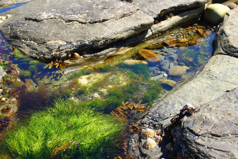
Under glass: a perfect chaos of random brightly coloured objects that, eyes blurred, could be anything. A junk shop, and Aladdin’s Cave of small treasures and tat and trinkets. Red feather boas and precious vases and china plates, jewelled brooches and draped finery like silk scarves. The occasional gold watch, with pearlescent face and little hands intricately ticking away.

Whole pieces at the centre, gradually fading into fragments and sun-bleached oddities at the edges. The bargain bin of rock pools.

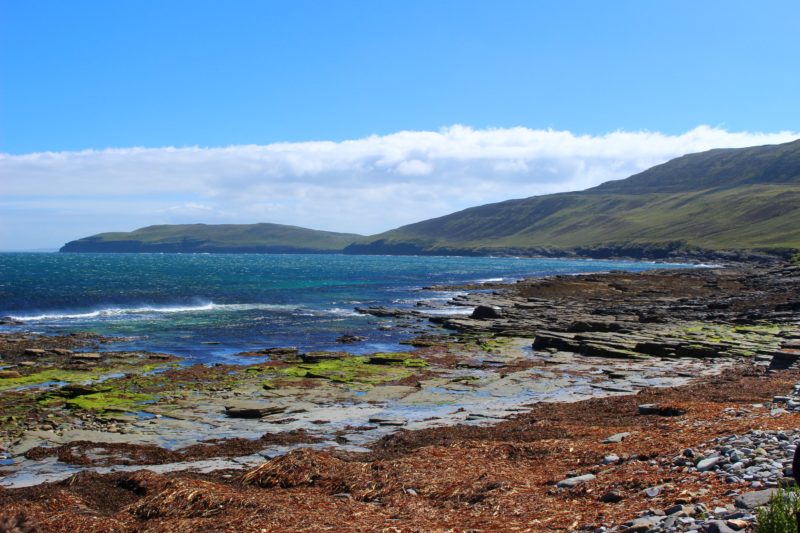
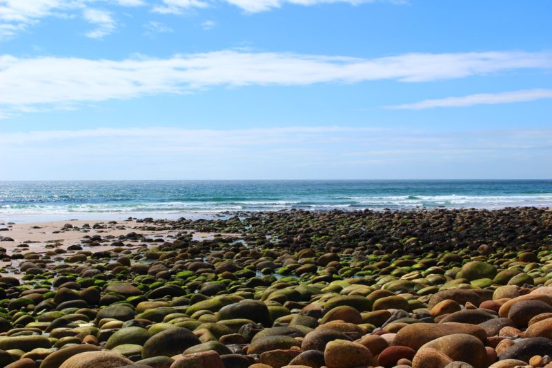
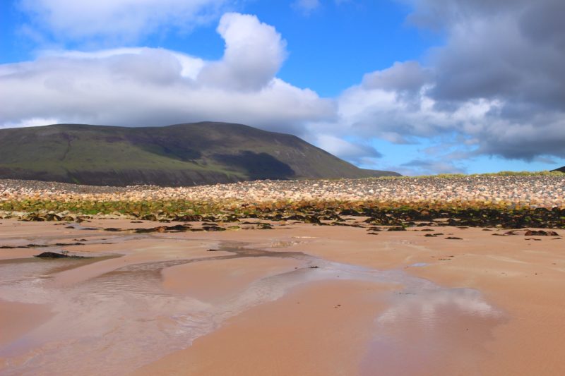
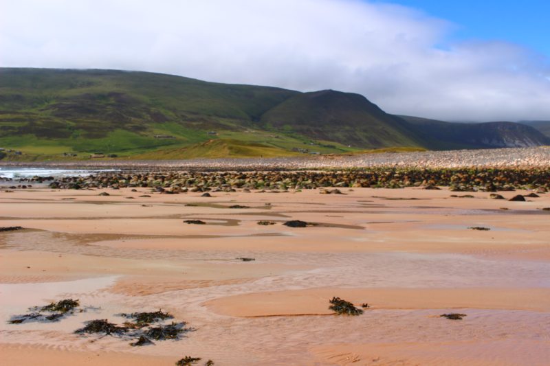
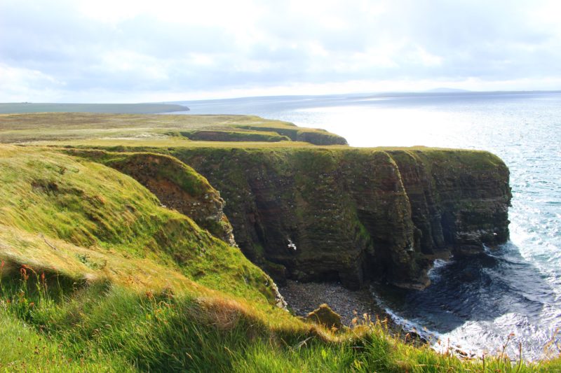
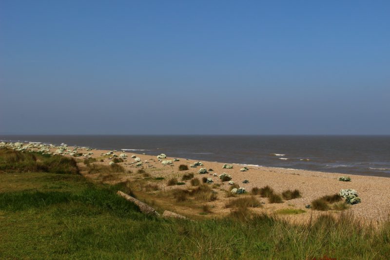
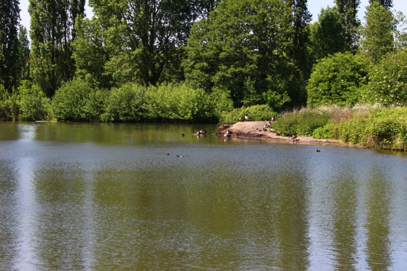
On the island of Rousay (often referred to as the Egypt of the North by archaeologists due to the huge amount of important discoveries made there considering its small size) is a bay shielded by the curve of the land. Saviskaill Bay is a popular site for seals (they can often be seen lounging on the rocks further out- there were quite a few while we were there; you can just about spot some in the distance below!)

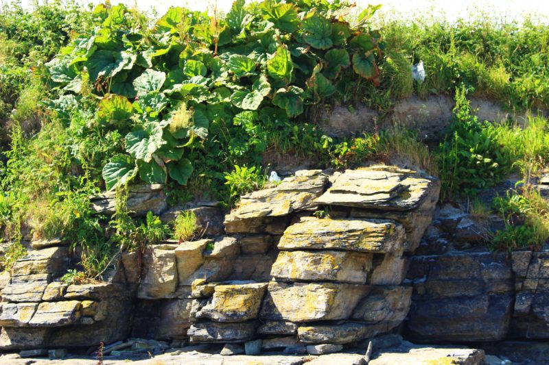
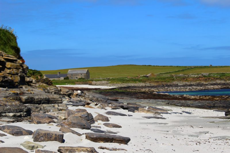
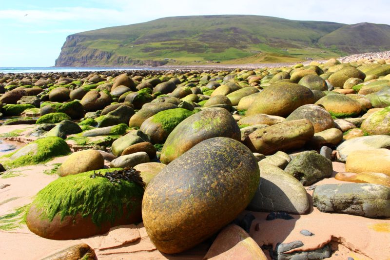
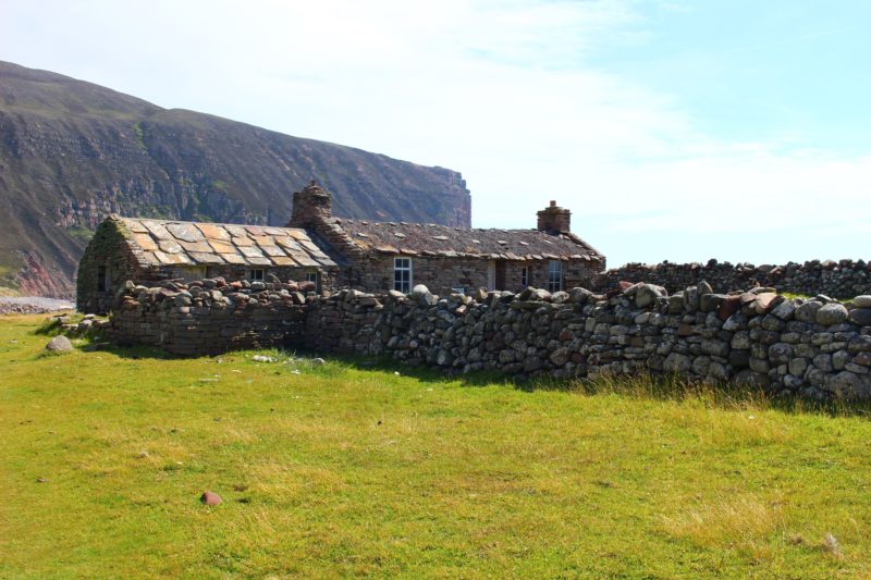
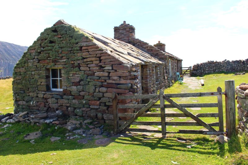
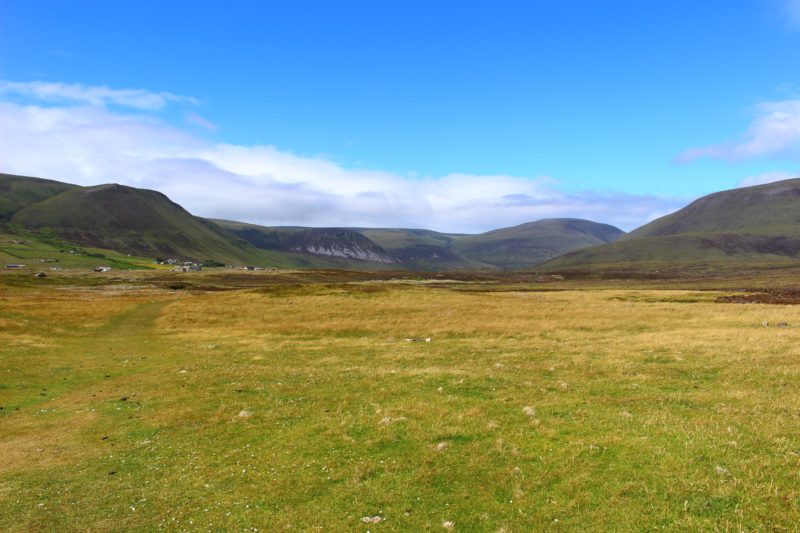
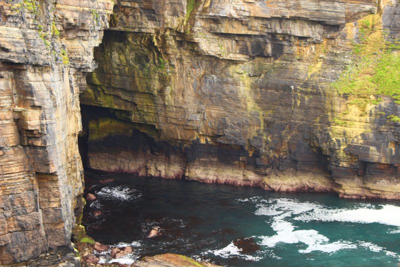
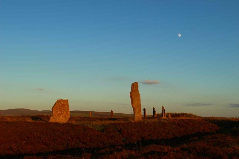
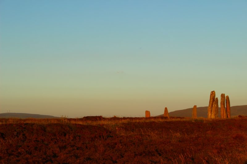
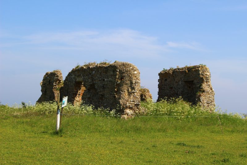
Rousay is a slightly odd-shaped island- the whole thing leads up to a huge, long hill in the centre, with an almost terraced appearance, as if it’s been sculpted that way. The island is dotted with derelict farmhouses left over from the clearances (Rousay was the only one of the Orkney Islands affected by the clearances, due to the laird of the island). There are tens of cairns (tombs) to be explored, including Midhowe Cairn, a huge tomb now protected from the elements due to its importance. Next to it is Midhowe Broch, the remains of a settlement, which is fascinating to look around (there were also a pair of fulmars nesting there!).

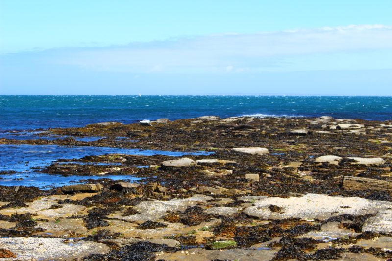
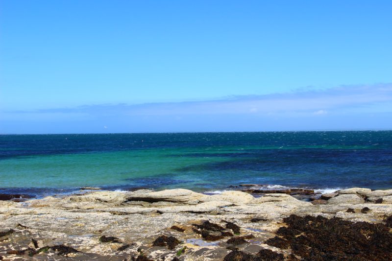
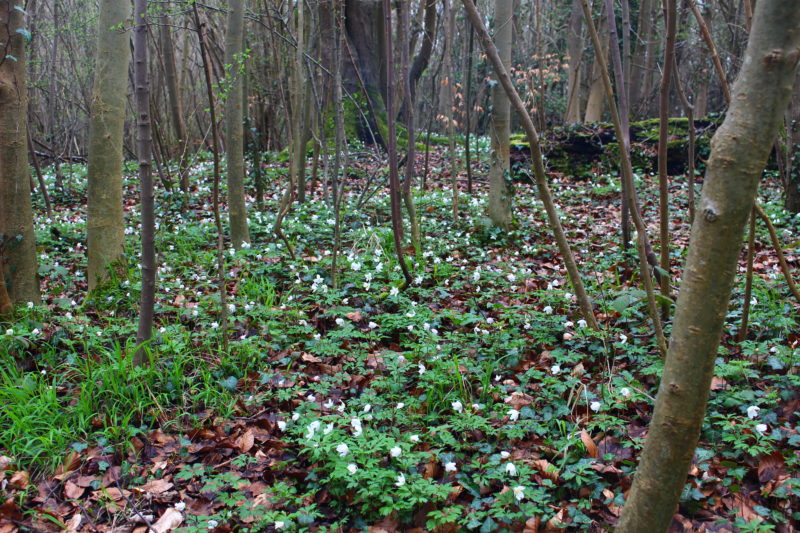
There are rockpools full of otherworldly-looking anemones, gulls swooping low over the ocean, and tonnes of fulmars nesting in the low cliffs behind the beach. The sea surrounding Orkney is so clear it’s easy to see large bodies of seaweed as well as white sand, through the water.


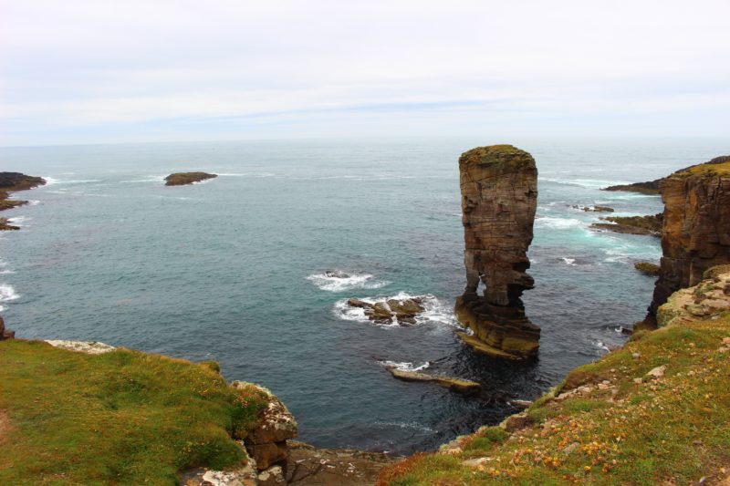
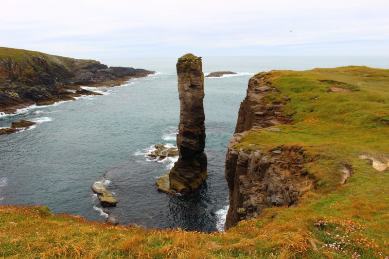
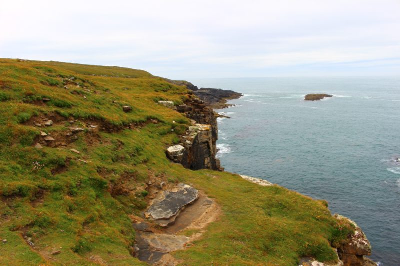
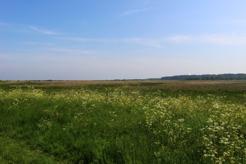
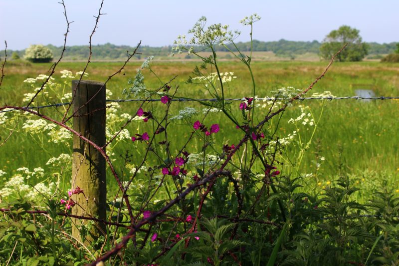
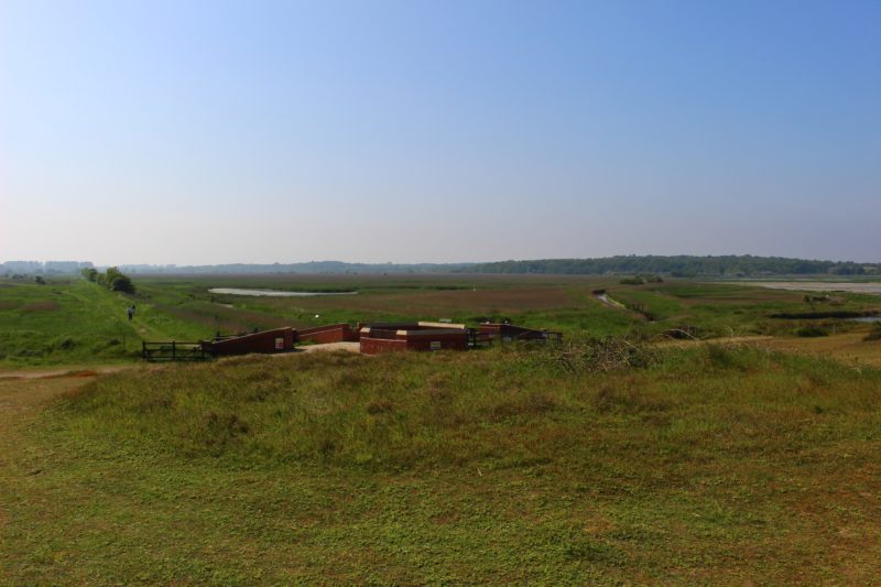
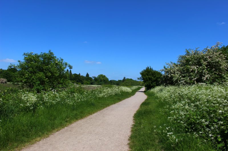
There’s only one road on Rousay, which loops around the central hill of the island, leading from the ferry terminal all the way around, with beautiful views of the other islands. A lot of the cairns are located just off this road; we ended up doing a cairn crawl. Also accessible from Rousay are its tiny satellite islands, Egilsay and Wyre (by ferry) and Eynhallow (by chartered boat).

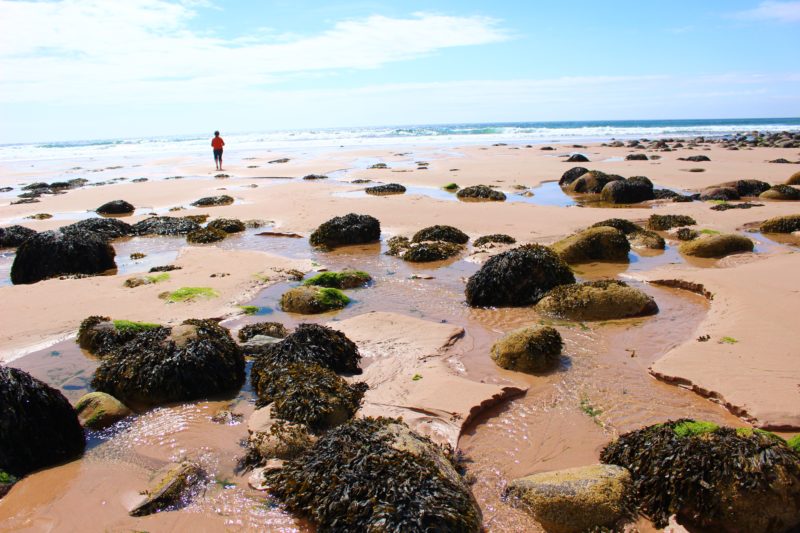
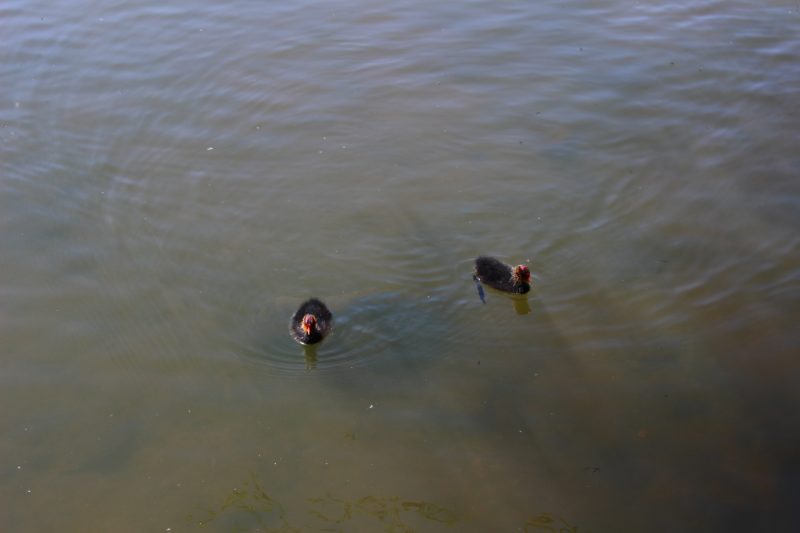
Saviskaill Bay is a gorgeous beach to explore rock pools, paddle, find lucky groatie buckies (otherwise known as cowrie shells) and spot seals and sometimes even occasionally otters!


Writing this has made me miss Orkney’s beauty and fresh air- I can’t wait to go back!

Rhi xx


#3: Rackwick Beach

All these rocks- marble pink and black fungus growing, greyish purple streaked with shell pink and moss green and rust and peach all swirled together. Speckled pickled grey-pink like flesh, and great black hunks of moon rock. There are streaks, stripes, scars, speckles. Each rock has its own human level of individuality. Shapes, sizes, cracks, jagged edges and soft, salt-smoothed curves. The water has made gorges and riverbeds in some, craters and tracks in others. Damaged to the point of unique-ness. 

One headland is a human face upturned to the sun and moon, another the head of a snake. Another still is a shoe on the end of an outstretched leg. From the corner of your eye, some rocks are so intricately marked that the crevices appear as letters, runes. Written rocks. Some have smashed and been haphazardly superglued back together, some have been smoothed into perfect spheres of one colour or with a consistent ombre. Some have shelves or caves or holes right through- said to be lucky. For the person who picks it up, maybe, but who wants a hole right through them?

Sometimes a beach is full of smooth pastel bonbons; others have all the planets- Jupiter’s red eye and caramel streaks, Neptune’s blue gloom, Saturn’s mystical rings…


Rackwick Beach is probably my favourite place I’ve visited in the Orkney Islands. Situated just round the headland from the Old Man of Hoy, it’s absoutely magical in the sunshine, and still dramatic and striking in a storm (although, having never been there in the winter, I’m sure it can be pretty terrifying in the really bad weather!) The rocks on the beach are huge smooth rounded boulders at the back, eventually turning to a fine pale sand nearer the sea. Streams run from between the rocks (ideal for paddling!) and the beach itself is nestled between two prominent headlands, giving it some shelter from the open ocean. From certain angles on the beach, on a very clear day, the Old Man can even be seen.

It’s not only facing the ocean that the beach has a striking beauty- the scenery behind it is just as jawdropping! The tiny village of Rackwick is spread across the valley between the beach and the hills behind. Isolated from the  larger settlements of Lyness and Longhope on the south end of the island by a road which winds through the hills where there have recently been sightings of a pair of white-tailed sea eagles, Rackwick is also a common place to spot birds of prey.

The village is a popular site for backpackers, and has a hostel housed in the old schoolhouse, where a lot of climbers planning to scale the Old Man, or people planning to hike up to St John’s Head further around the headland, tend to stay. All of the houses in Rackwick are low, long stone cottages, set into the hillsides and built with corrugated roofs to protect from the weather. Many of these are holiday lets, nowadays; the already small population of Rackwick has declined much further over the last century. One of these cottages is used as a bothy; it’s just behind the barrier of boulders that has formed at the back of the beach.


It’s pretty impossible to describe the atmosphere of Rackwick; the weather can change in a split second, mist rolling in from the hills or the sea even on a bright, sunny day; a storm approaching fast from any direction. In one direction the sun will be shining, in another the hills will be shrouded in thick swirling mist. It’s a beautiful place, and I’m not really sure any words or photos can truly do it justice.


Rhi xx


#2: Yesnaby Stack

“The seaweed is pasta boiling in broth. Tagliatelle and spaghetti. The wind whips up shadows on the surface of the water, skating over like the birds being dragged fast through the sky. A passing plane adds a new and foreign sound to the distant quacks and frantic squeakings of birds, and the now-gentle lap of waves against shelves upon shelves of diamond-cut rock. Guillemots dry their wings on a sloping wall of ancient stone. You can read the water (ever-changing) and the water’s impression on the rocks (ever-changing but much more slowly) in endless different ways. So intricate as to defy one solid meaning. Turn over a tough-looking barnacle encrusted seashell, and the underside, the inside, will be raw, delicate, purplish-pink porcelain flesh. Shining and smooth and untouched. The rock flowers watch as the weather mutates and breathes and plunges the ocean into turmoil.”

One of my favourite clifftop walks on the Orkney mainland is Yesnaby, an area just south of the neolithic village of Skara Brae which has incredible, dramatic views of waves crashing against each headland you walk around. From the carpark the best route is to walk left along the clifftop, where after about half a mile you’ll reach the Yesnaby sea stack, an impressive tower which is now completely cut off from the land above water. Hundreds of fulmars nest in the cliffs surrounding it, as in many of the headlands here; sometimes you’ll walk past a nook in the cliff and see a beady little eye surveying you. (Fulmars are my favourite- built like a mini albatross with pillowy grey and white plumage, they somehow manage to look adorable and angry at the same time- they also have the ingenious defence mechanism of spitting a foul oily liquid at anyone who gets too close.) Fun to watch, they seem to playfully enjoy swooping and gliding from cliff to cliff- sometimes within a hair’s breadth of your scalp!


From these cliffs, as well as many other places on the island, you can see tiny rocky islands, or skerries; uninhabitable by humans but often home to many different breeds of seabird, such as gannets, fulmars and various members of the auk family. There are dozens of these skerries within the Orkney islands- some almost too small to see on the map. The rock itself is formed and worn down in oddly grid-like, square shapes; often it looks almost man-made, carved out of the land.


This clifftop walk, like many others, can continue for pretty much as long as you like- there is little inaccessible coastline in Orkney, although if an area is overtly signposted or is being used for livestock, it’s best to check before going further. There are tonnes of helpful guidebooks and walking maps available (obviously it’s also best to make sure there’s a cafe where you can grab some Orkney cheesecake or a tray bake at one end).

Rhi xx


A (Very) Brief Introduction to the Orkney Islands… #1: The Ring Of Brodgar


Hi again! I’ve just gotten back from holiday in the Orkney Islands above the top of Scotland; so over the next few weeks, I’m going to post about some of my favourite places and walks in these gorgeous islands.

 Orkney is home to an incredibly diverse array of flora and fauna, including puffins, the rare primula scotica flower which only exists in specific areas of Scotland, as well as, currently, a pair of white-tailed sea eagles on the island of Hoy (one of the largest breeds of eagle in the world, often likened to a “flying barn door”!). It’s also home to what I reckon is some of the most beautiful coastline scenery in the UK, as well as some of the most important evidence of neolithic life; there are plenty of chambered cairns to explore plus larger archaeological sites like the well-known Skara Brae, a neolithic village; and the Ring of Brodgar, a stone circle, the area beside which is currently being excavated due to more discoveries (which I’ll talk about more in a sec!). I have a lot to say about it as a community, too- but I figure I’ll focus on specific parts, and let these and the photos do the talking! 

 While I was there I kept an observational diary of my surroundings, so I’ll include a couple of my favourite descriptions from that in my posts too.

#1: The Ring Of Brodgar


“There are a million (and have been a million more) different sunsets. They paint the sky and the landscape a multitude of searingly bright colours that you would previously only have assigned to very specific and man-made things; although, you realise, man must’ve gotten the idea from somewhere. There has been, on the third or fourth night here, a display of day-glo raspberry and peach and tangerine, cobalt blue still lingering high above to begin with until the warm, bright colours begin to soak that up and seep into the blue. Tonight, the last, it’s apricot, and turkish delight- framed by parma violet clouds floating closer and closer to the sun on a fast wind, as moths drawn to a lightbulb. The sun sinks below a low, distant hill, and egg-yolk yellow and white-gold add their own particular hues to the slowly developing mixture. The colours change continuously; imperceptible if you keep looking, but easy to document if, say, you keep darting your eyes away to scribble words on paper. The turkish delight deepens to coral; begins to follow the sun down the plughole.”

One of the most popular sites to visit on the island due to its historical and archaeological value, the Ring of Brodgar is a circle of imposing standing stones, dating from the 3rd millenium BC. The stones cut jagged, dramatic shapes against the low, rolling skyline, set amongst heather and surrounded on three sides by the Loch of Stenness. There’s something very peaceful about the stones- they’ve been there for thousands of years, being slowly worn by the harsh winter weather; changing almost imperceptibly. Here, as well as many other places on the islands, has inspired the designs of a lot of beautiful local art and jewellery.

We visited towards the end of the evening, after the coach loads had departed. It’s a beautiful spot to watch one of Orkney’s famous sunsets from- and just for the record, the second photograph above demonstrates pretty much the darkest it gets in Orkney during the summer months. I walked around the circle and sketched the shape of each of the stones; studying them, it’s as if they each have their own personality, worn in over the centuries.


Eastbridge to Minsmere Nature Reserve, Suffolk

Hi again! Over the bank holiday I went back to my home county of Suffolk to get some fresh air and enjoy the sun. While I was back, my parents took me on one of their favourite walks on the Suffolk coast (and now it’s one of my favourites too, not least because it starts with a great pub, the Eel’s Foot, in the village of Eastbridge 🙂 ). Coming out of the Eel’s Foot, you walk left, up the road out of the village, until you see a track on the left with a “public footpath” sign. Keep following this track for some perfect examples of Suffolk’s vast, wide-open scenery.


Eventually the track leads out to the sea, but before this you get to appreciate the feeling of immense space around here- Suffolk is very flat but doesn’t feel bleak to me, because everything’s so lush and green!


Further up the track there’s also the opportunity to take a little detour to see the ruins of St Mary’s Chapel, which also acted at one time as a disguise for the WWII pill box concealed inside. In the same field as the Chapel’s ruins, there are also Highland cattle, and, at the time we visited, Konik ponies! This ancient Polish breed has been released into the area around Minsmere as their grazing habits help maintain the wetland environment. They have a pretty large area to roam around, so they can be pretty difficult to spot.


In the distance behind the ruins, you can see the sand dunes that mark the beginning of the beach. A little further down the coast is the village of Dunwich, formerly a large port in the 1500s- now just a small collection of houses, a pub and part of a graveyard which is in the process of falling over the edge of the gradually eroding cliffs. Bones from the graveyard, as well as furniture from houses that have toppled over the edge over the years, have been found washed up on the beach. Erosion happens at an alarmingly fast rate along the coastline here- the area around Dunwich is now falling into the sea at a rate of 1m per year.


Once you’ve reached the beach, you can go back on yourself and go through the gate next to the one the track led up to- this takes you into the Minsmere Nature Reserve, home to hundreds of species of flora and fauna, and one of the best wetland nature reserves in the country. There are bird hides and easily accessible footpaths all around the reserve’s 2500 acres. You can follow these footpaths through the reserve to make this walk a circular. Owned and maintained by the RSPB, it’s great for birdwatchers and wildlife enthusiasts as well as just keen walkers. I’ll be back to talk more about Minsmere, and other great days out in Suffolk, in more detail at some point over the summer!

Rhi xx


South Norwood Country Park

Hi again!

In the beautiful weather yesterday, I took the train down to South Norwood to visit the Country Park there, and now I have another new contender for my favourite place… made up of wetlands, meadows and a large lake full of birds such as coots and canada geese (at this time of year anyway), it’s quite different from a lot of the heavily wooded green spaces I’ve visited previously in the series. The park feels very open, and very distant from the city, despite only being a couple of miles out.


There’s so many different types of flora and fauna here- it’s also uncommon for a London green space in that the damp conditions created by the lake create a perfect breeding ground for different species of birds. We spent ages birdwatching (and trying to make friends with coot chicks from a distance)!


There are lots of wide, even paths throughout the park which make it perfect for cycling, as well as smaller narrower routes great for rambling and meadows for picnics and just generally chilling out. We stopped for a picnic and saw loads of beautiful red and black Cinnabar moths- just one of the 19 species of butterfly and moth that have been recorded in the park (unfortunately I wasn’t quick enough to get a photo, though).

Around the lake there are a couple of viewing platforms where you can watch the birds and appreciate one of the largest bodies of water in South London.


The park is pretty much surrounded by train stations; the closest being Elmers End, from which you can get to Charing Cross or Cannon Street. A fifteen minute walk away is also Norwood Junction, which is an Overground station, so easy access back up to North East London if you need it!

The variety of habitats and flora makes this a gorgeous park for a day trip that doesn’t take much preparation- a gorgeous nature reserve right on London’s doorstep.


Rhi xx


Beckenham Place Park

Hi again! Yesterday I took a trip to the gorgeous Beckenham Place Park in South Lewisham; the grounds of Beckenham Place mansion, which nowadays is open to the public as an arts facility, as well as housing a cafe, and even a record shop if you fancy a browse! It’s the largest green space in Lewisham, and also makes up a part of the Green Chain Walk which continues throughout the whole of South London.

The park is a lush mixture of specifically planted trees and shrubs, left over from its days as private land, and wilder vegetation as well as ancient woodland. The rolling hills of the park create a lovely vista, as well as a feeling of really having escaped the city for the day.

There are footpaths you can follow through the park, but it’s easy to ramble off the beaten track as well; there are few hard-to-access areas, and most of the land is very open rather than being entirely dense woodland. This is definitely one of my favourite places for a day of chilling in the sun, having a picnic or just a relaxing stroll (the amazing weather definitely helped on this occasion as well)!

As well as the wilder and more open areas, there are also more structured parts of the land which form a garden area, with benches nearby perfect for picnicking, and even tennis courts.

Despite the beautiful weather, the park was pretty quiet when I visited; it seems to be a pretty well-kept secret even from most locals! As much as I love Greenwich Park, it can get a little crowded, especially in the summer! I think this might be my new favourite for a sunny ramble.

Rhi xx


High Elms Country Park

Hi again!

Last week I took the train down to Orpington to visit High Elms Country Park. This is the first time in the wild South London series that I’ve been somewhere that’s more than just a wild space with walking trails signposted, or a park; High Elms has a visitor centre and regularly runs educational workshops for kids.

Parts of the park were fairly busy when I went, and it’s also very popular with dog walkers- so it wasn’t the most remote place I’ve been! The whole place is very well signposted, and there’s a lot of varied woodland, as well as open spaces great for picnics and games.

The route I took began at Orpington station and took me through the suburbs of the town until I reached the village of Farnborough, which with its quaint cottages and beautiful little church is very picturesque.

The walk goes through the churchyard and out the back, into a wide open space with a stunning view of the hills of Kent. From this point on, it’s very well signposted.

There’s something really exciting about heading towards those hills; it feels like the start of an adventure! There’s then a walk through a piece of woodland, before you cross the road to enter the carpark of High Elms.

There are lots of different trails to follow through the woodland; I was in the mood for open spaces, so I was especially pleased to find this view at the top of a hill!

High Elms is evidently well cared-for, and a local gem for families and ramblers alike. It’s easy to access, with trains straight from Charing Cross and Cannon Street running regularly; and if you don’t fancy the walk through the suburbs that it takes to get to the park from Orpington station, the bus station is right outside, with buses running by the park entrance every ten minutes or so.

Next time I should be exploring deeper into Kent, taking a day trip to Shoreham! Hopefully the weather will improve in time for that…

Rhi xx


Joydens Wood, Bexley

Hi again!


Last week on the one day that really did feel like the beginning of spring (13 whole degrees!!), I went to Bexley to explore Joydens Wood, a piece of ancient woodland which has a long history stretching back to Roman times. Cared for by the Woodland Trust, there are multiple trails you can follow through the area. This is a lovely ramble; a couple of times I stopped just to listen to the sound of- well, pretty much nothing, other than the birds! The roar of London is only there in a very distant sense.

There are a few entrances to the Wood; the one I used took me down Stable Lane, just outside the village of Bexley. After you pass the stables, there is a gate on the left leading up into the woodland.

There are still traces of ancient human activity in the forest; including Faesten Dic, a boundary made up of a ditch and a raised bank, which runs through the woodland for about a kilometre. You can follow this as one of the trails, which are all really well sign-posted.

You could probably spend most of a day exploring the woodland- not only are there numerous trails to follow, there are also remnants of ancient settlements, such as The King’s Hollow, part of an old dwelling; also a well which would have been the area’s original drinking water source.

It’s very evident from the size of a lot of the trees just how old this woodland is; my favourite was the “Old Oak” towards the Summerhouse Drive entrance to the woods.

Another thing I noticed was how much wildlife there was about; the birdsong was so loud there, and there were squirrels absolutely everywhere!

Joydens Wood also forms part of a longer walk around the Bexley area which is fully outlined in the “London’s Parks & Countryside Pathfinder Guide“. This walk also involves a lovely stretch of the River Cray, which I’ll have to test out very soon!

Rhi xx

P.S. One thing I did find was that most of the trail I took was seriously muddy, so best to wear walking boots or an old pair of trainers you can stick in the wash afterwards!


Hawkwood Estate, Chislehurst

Hey!

It’s been a long time, but I’ve finally gotten around to writing this post- a while ago, I went to visit the Hawkwood Estate in Chislehurst, having scanned Google Maps as per usual for big green spaces in Southeast London I somehow haven’t gotten round to exploring yet!


Chislehurst itself doesn’t feel like London- the moment you step off the train you seem to be breathing Kent’s air instead. Climb the hill to the left out of the station, and head across the cricket ground towards the village- it’s even got a pub called the Rambler’s Rest.

The part I was specifically heading for was up the road a way from the train station, past the also-lovely Chislehurst Common, which I’m fully intending on giving its own post at some point soon.

My favourite part of this walk is actually the beginning, as the buildings gradually peter out along Hawkwood Lane; once you’re past the two schools along this road, you reach what appears to be a cul-de-sac; but leading off to the left is a dirt track called Botany Bay Lane. Take this track and suddenly- BAM!- you’re completely and totally in the countryside.


The tree-lined track keeps pretty much straight on; there are a few other footpaths leading off it, which, again, I need to explore soon. There are some amazing views (and friendly sheep) along the track, and it’s generally pretty quiet save for a few dog-walkers (one of them even said hi, which I feel is pretty conclusive evidence that this wasn’t London!). Essentially you could ramble around the whole area for hours feeling like you’ve totally escaped from the city.


Hawkwood Lane then runs alongside the train tracks for a little while; after this point you can either cross the bridge into more woodland, or curl back around onto a boardwalk and find yourself in the Petts Wood conservation area; more recently I visited this in the snow with a Klean Kanteen full of coffee!


Side note: there’s a bunch of pubs in the picture-postcard centre of the village; so if you happen to find yourself here in the cold weather that’s supposed to be making a comeback this weekend, there’s plenty of places to warm up!

Rhi xx