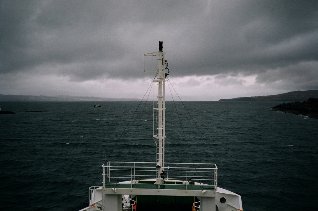
The Night Riviera Sleeper Train to Cornwall departs Paddington just before midnight and arrives in Truro at 7am the next morning – ideal for a long weekend of camping and surfing.
Once aboard the train we headed to the Dining Car for our complimentary tea and coffee, before bedding down in our cabin bunks. Our sleeper carriage attendant Jamie woke us with croissants and coffee at 6:30am.
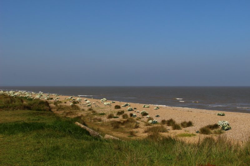
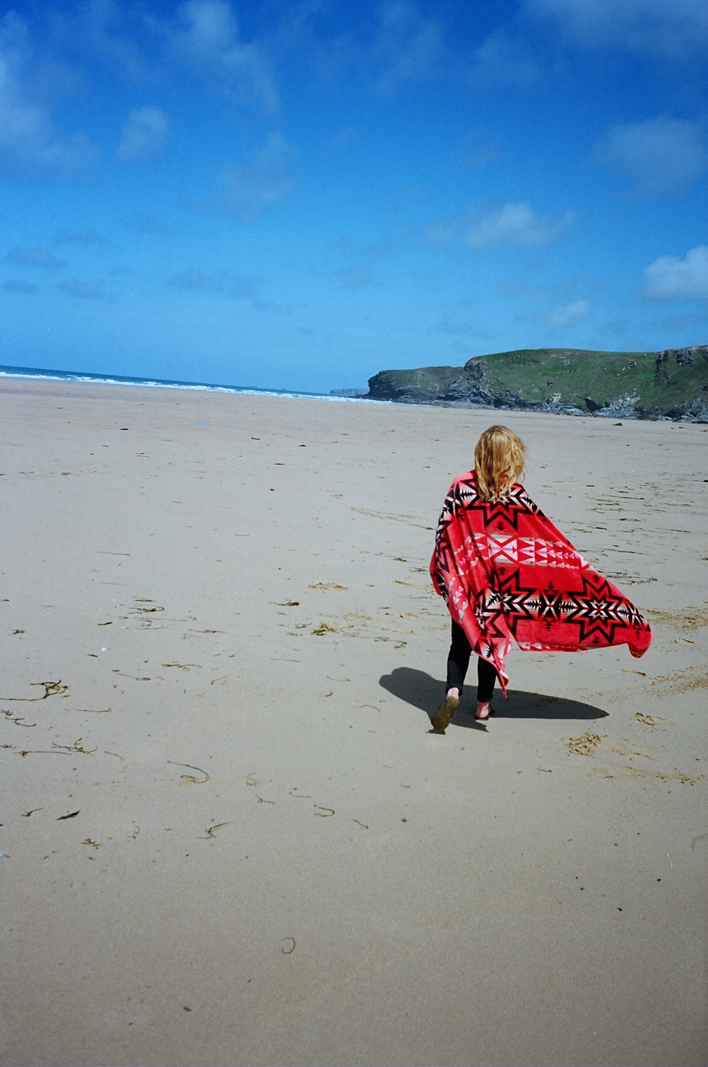
We picked up our rental car and made a beeline for Watergate Bay, where the Watergate Bay Hotel offers coffee and a fantastic view of the crashing surf from their wicker furnished terrace. Watching one lone surfer on the waves, we decided to take some of the action, hiring boards from the friendly team at Extreme Academy right on the beach.
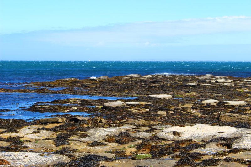
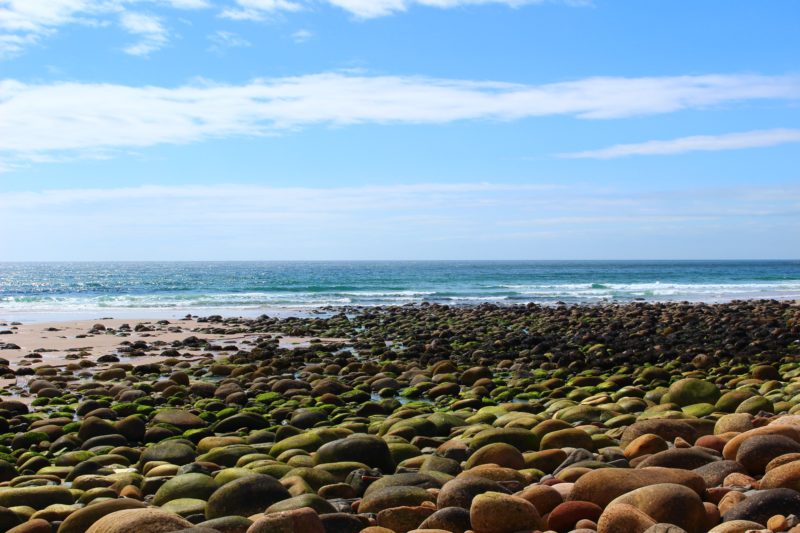
Post surf the tide had dropped significantly and exposed Watergate Bay’s massive sandy expanse, we spent what remained of the morning lounging on rocks and browsing pools for crabs before heading south. In Perranporth we found the Willow Bistro and shared voluminous bowls of salad, and mind altering mackerel.
 Alena exploring Watergate Bay wrapped in her Pendleton Jacquard Beach Towel
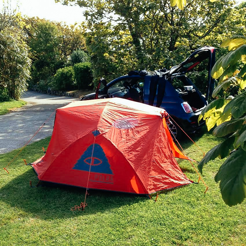
We set up camp at the fantastically located Beacon Cottage Farm Holidays, where our pitch was just right for the Poler Stuff Two Man Tent, the little car and a Primus-fuelled kitchen set up. Poler’s tents go up quick and easy and before long we were searching for a pub.
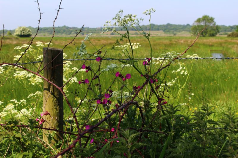
Beacon Cottage Farm is hidden from the village of St Agnes by Beacon Hill, a high point of heather and gorse from which a lookout sent warning signals to nearby towns during the Napoleonic wars. Forty minutes of skirting the hill by foot leads to the village centre where the St Agnes Hotel and a myriad of other pubs serve booze and food. On our way back to the campsite we admired the sun as it faded over the Atlantic from Beacon Hill’s peak.
On Friday we woke to the sound of rain on canvas – one of the simple joys of camping in the UK. We made coffee in fog and drizzle, utilising the tent’s porch for shelter.
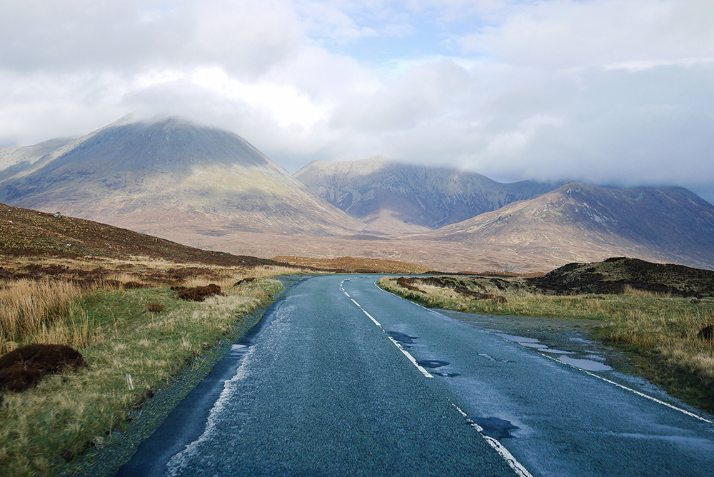
The shape of the Cornish peninsula produces several odd climatological phenomena and when the north coast is shrouded in clouds and mist, the south is often basking in the sun and vice versa. Bearing this in mind we left St Agnes behind and headed for Falmouth in search of sunshine and pasties.
We found not only the finest pasties in all of Kernow at Oggy Oggy on the High Street, but also, nestled in the woodland below Pendennis Castle, an excellent rope swing. After fish and chips and beer out the front of The Chain Locker, we headed back to our misty north coast encampment.
I’ve never heard of sea trout before but I’m glad the fishmonger recommended it to us. Fried over the the Primus Miner Stove with garlic, red onion and button mushrooms it made a killer topping for tagliatelle, similar to salmon but with added juice and oils.
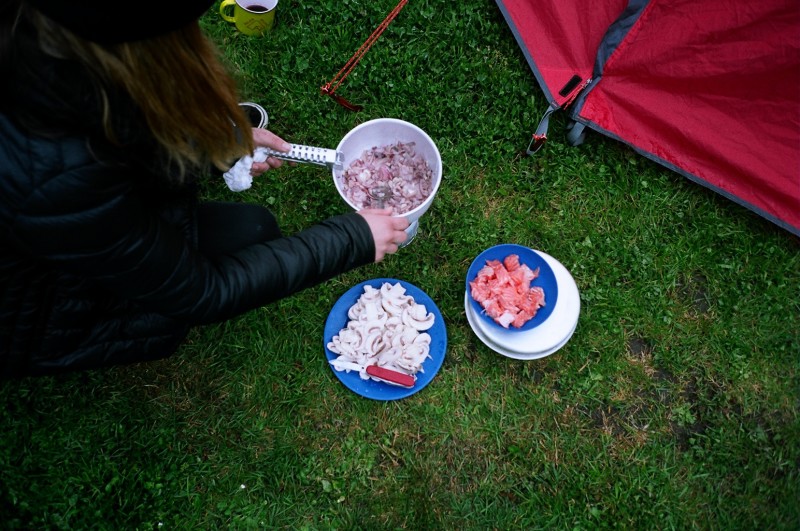 Cooking up some Sea Trout Tagliatelle with the Primus Mimer Stove Kit
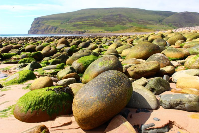
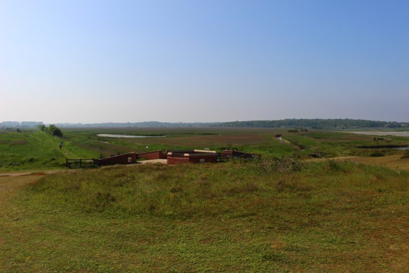
On Saturday we woke to similarly wet and hazy weather and decided it would provide the perfect atmosphere for exploring the coast path as it flanks Beacon Cottage. In the murk we discovered the remains of old tin mines and the tiny picturesque cove of Chapel Porth.
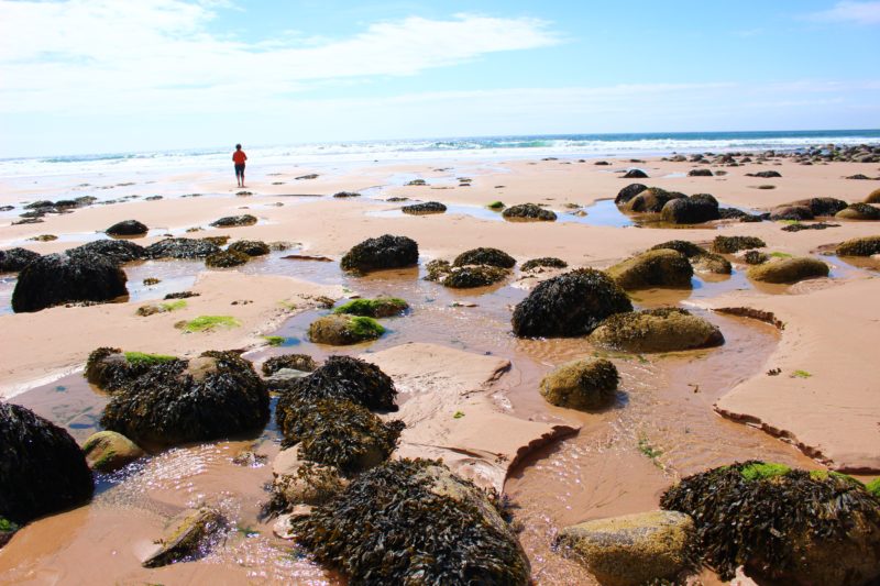
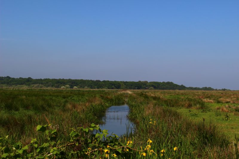
Twenty minutes drive west along the south coast leads to Godrevy, a National Trust outpost on the far side of St Ives bay, where dunes and heathland back a massive expanse of sandy beach. Adding to our experience of odd Cornish weather events, unlike the St Agnes and Chapel Porth, Godrevy and Gwithian were enjoying a glorious early summer’s day.
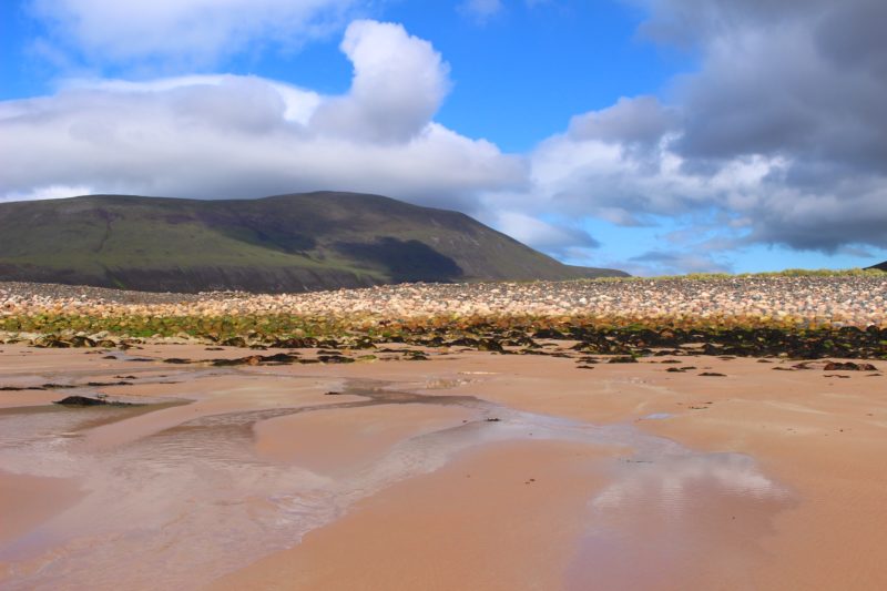
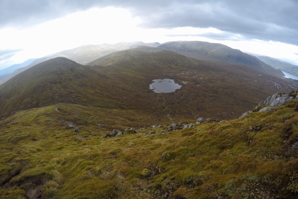
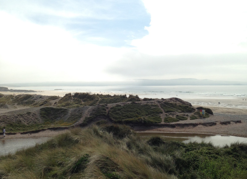 The view from Godrevy across Gwithian Beach and St Ives Bay
Small but clean peeling waves broke uniformly on the mid tide, and we hired boards from the excellent Shore Surf School and had a really fun few hours, scoring plenty of fun but short rides. It had been over 15 years since I’d surfed in Cornwall and had completely forgotten the clear crystal water sparkled such intense turquoise in the sun. Post surf we had local ice cream from the Godrevy Beach Café, huddled together in my Pendleton massive beach towel.
That evening, zonked from spending the day in the sun we decided to forgo our camp stove cooking escapades and seek sustenance elsewhere, choosing the window stools of The Cornish Pizza Company, perfectly filling and nutritious after a day surfing and exploring in the sun. After a pint at the rickety wonky little Railway Inn, we wandered back to the tent in the darkness.
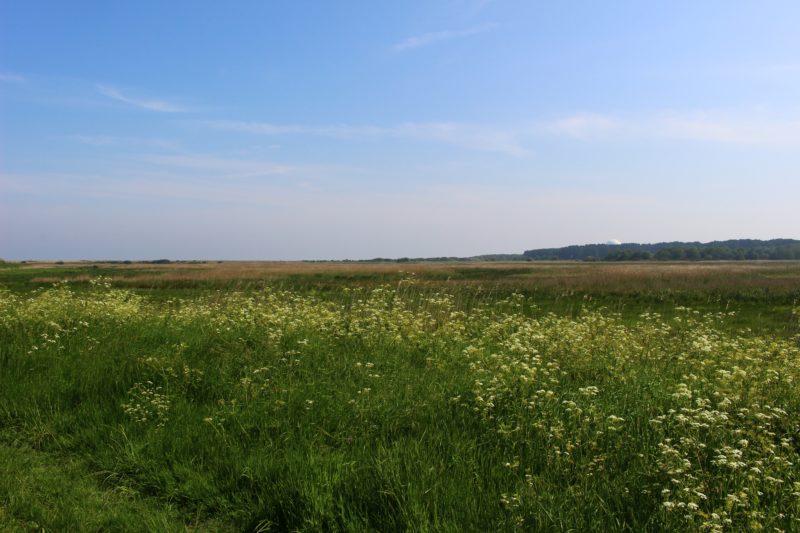
Half an hour down the coast from St Agnes lies the bustling little tourist metropole of St Ives, which seemed like the perfect place to spend Sunday. Our main motive for visiting was Tate St Ives and their Images Moving Out Onto Space exhibition, with work from Bridget Riley, Dan Flavin and amongst others my favourites John Divola and Bryan Winter, both of whom had their work installed in the curved gallery where a massive circular window looks out onto the mist clouded Porthmeor Beach, making it an epic but peaceful space.
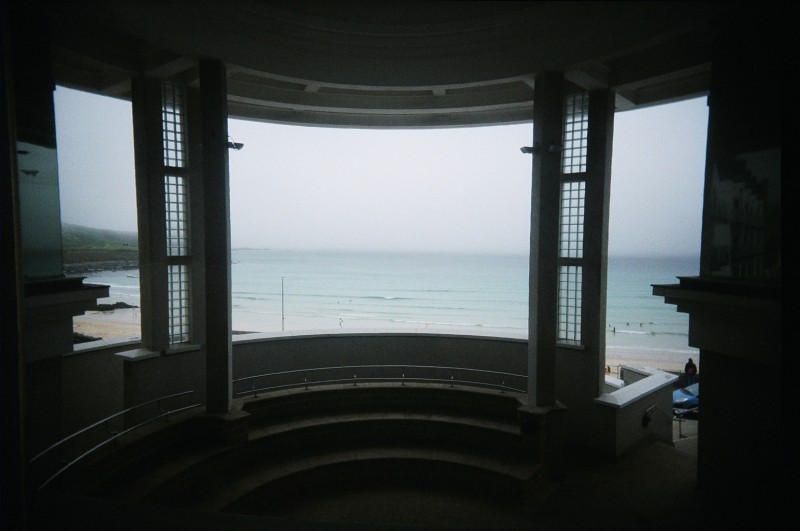 Looking out over Porthmeor Beach from the window of Tate St Ives‘ curved gallery
We ate some super tasty chowder the Beach Comber Cafe and left St Ives to explore some of the villages and coastal paths further down the peninsula, finding a mystical landscape around Zennor.
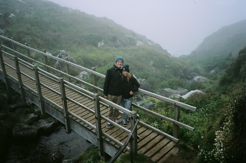 Keeping warm and dry with Patagonia Torrentshells in the mists of Zennor’s coastal path
Resigned to the fact our trip was coming to end, we headed to Truro Tandoori for a feast before we climbed back aboard the Night Riviera back to Paddington.


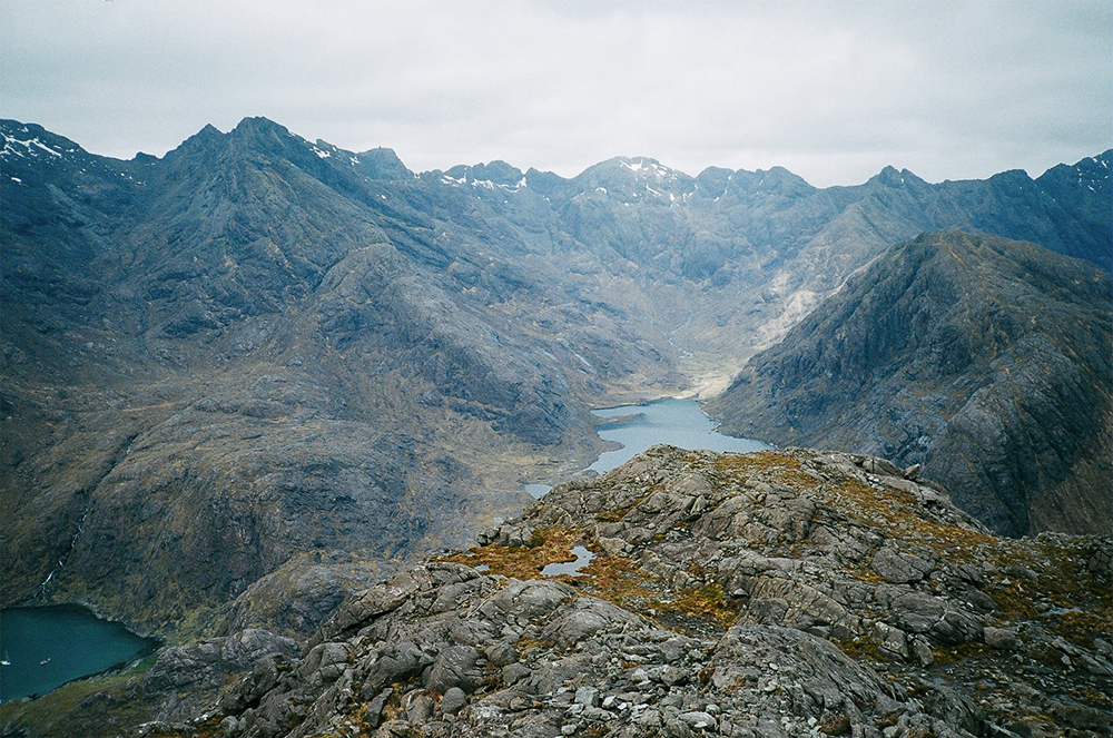
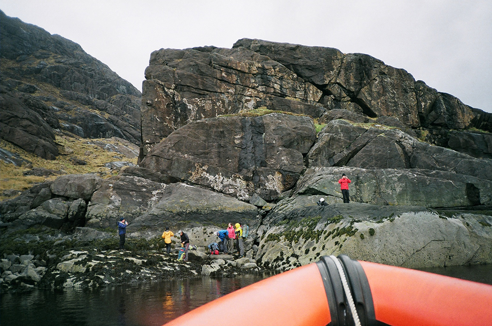 Our companions on the rib who jumped off the boat onto slippery rocks at Eilean Ramhair, and were heading up to do the notoriously difficult
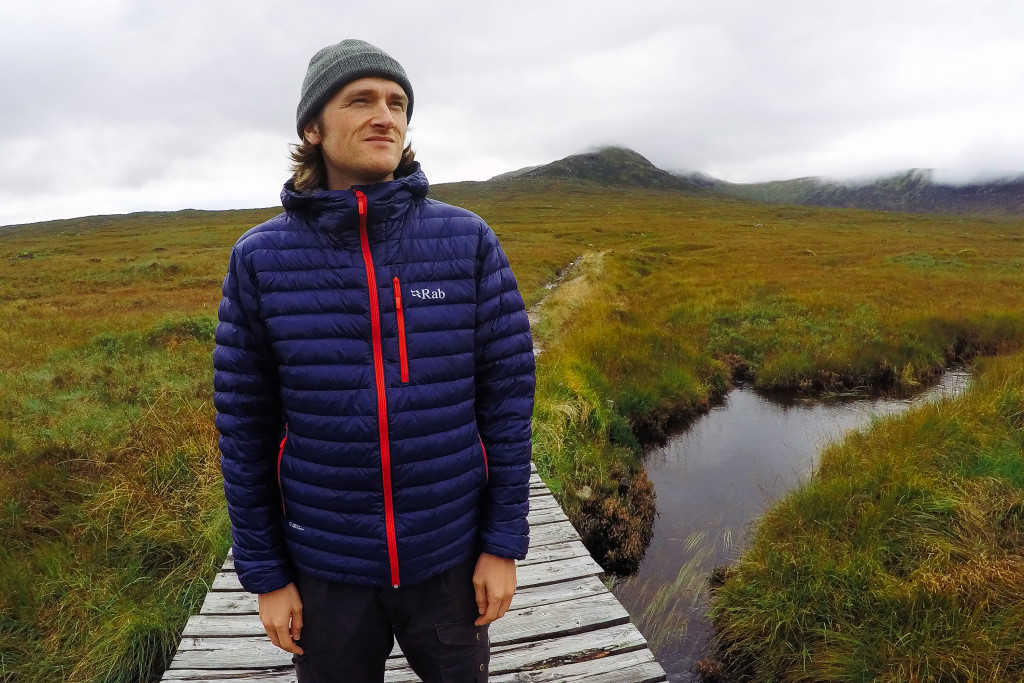
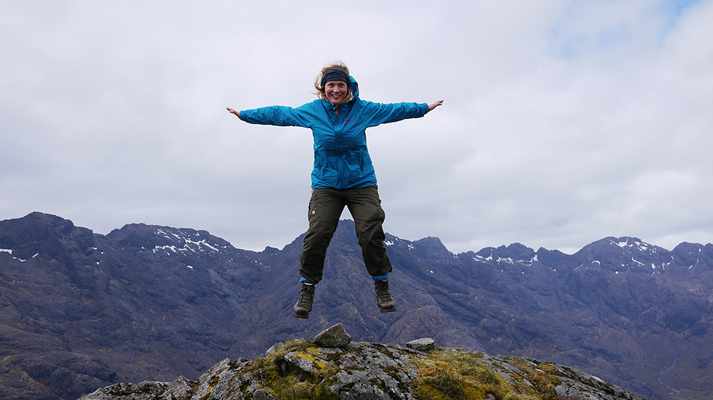 Me, very excited to be at the peak!
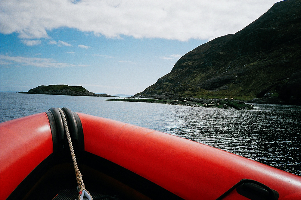


 Ordnance Survey Explorer 411 Skye – Cuillin Hills Map
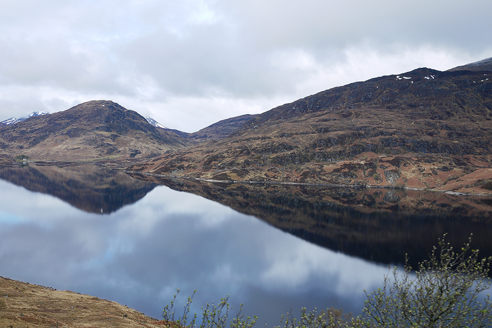
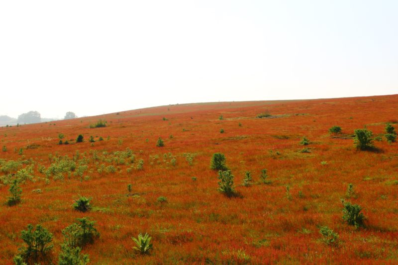
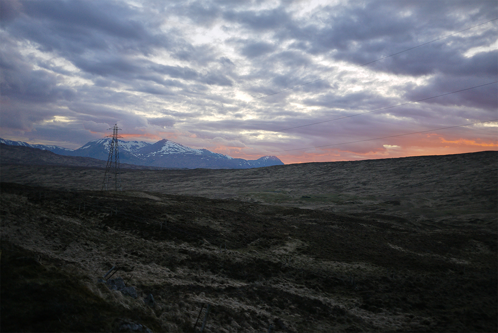 Rannoch Moor from the Lounge car window
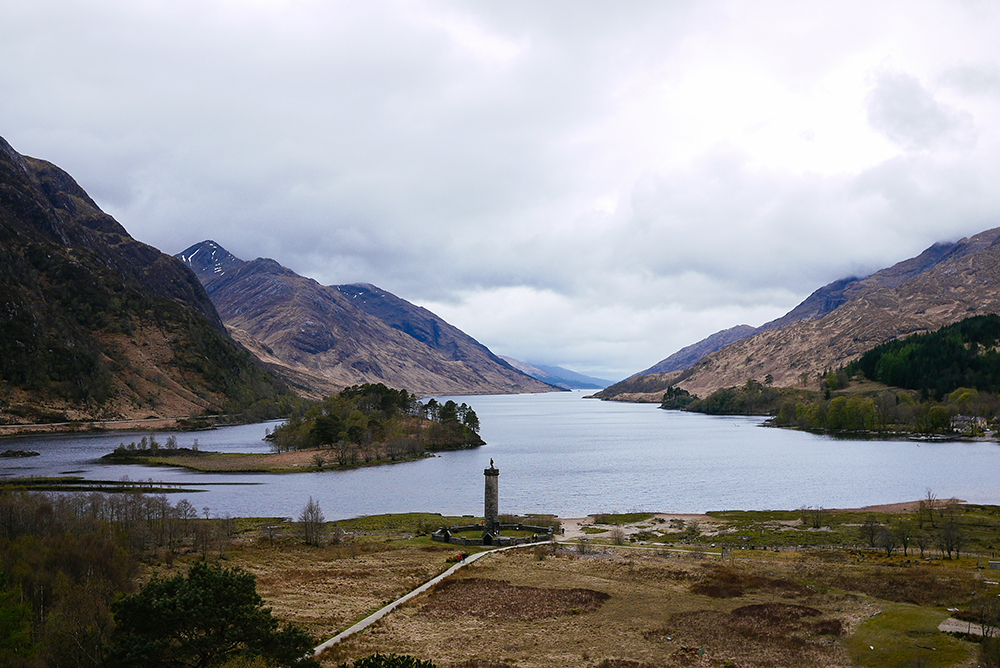 The Glenfinnan Monument
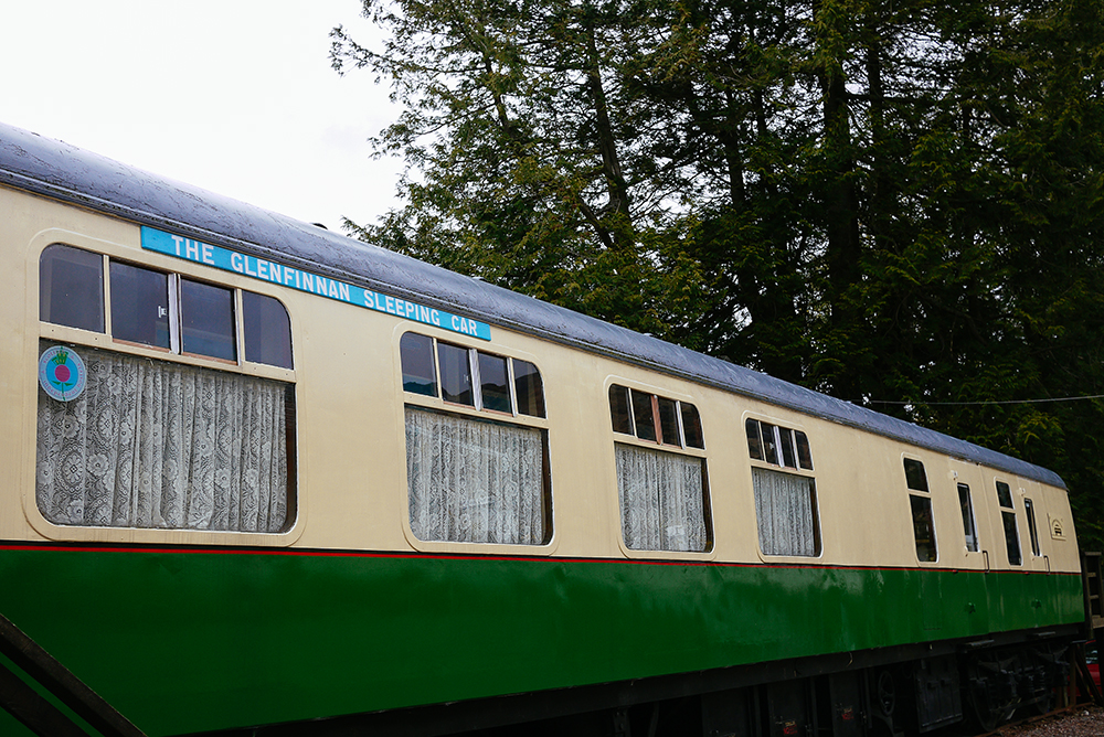 The Glenfinnan Sleeping Car
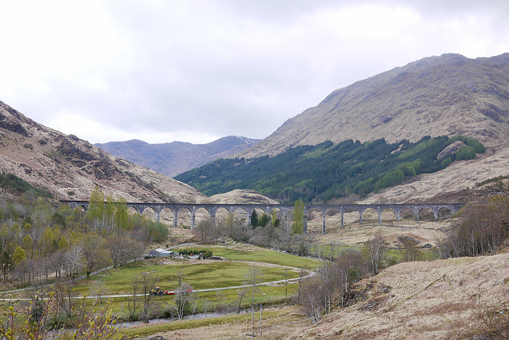 The
The